Glasgow Metro Map: Locals call the Glasgow Subway the Clockwork Orange, a nickname that captures both the bright tangerine of the carriages and the lines’ relentless round-and-round motion. First lowered into the earth back in 1896, it sits proudly as the third oldest underground in the world, trailing only London’s and Budapest’s networks. Because its tunnel hugs the city core and brushes several outer districts, the system can often shave minutes off a bus or taxi ride.
In practical terms, the route is one long ring that stretches roughly 10.5 kilometres, or about 6.5 miles. Fifteen stops punctuate that loop, and by choosing either the Inner Circle or Outer Circle trains, commuters decide whether they’ll see the West End first or last. The whole operation falls under the gaze of Strathclyde Partnership for Transport, an agency that handles everything from ticketing to maintenance.
Key Characteristics
The system comprises fifteen stops linked by a single, compact line that stretches 10.5 kilometres-roughly six and a half miles-from beginning to end. It serves as a confidence city on the move, cradling commuters, tourists, and students alike.
On typical weekdays, carriages first appear around half-past six in the morning and do not switch off until a minute shy of eleven-fifteen at night. Service contracts shrink slightly on Sundays, when trains depart at ten and close before six.
Passenger Volume
Accounting for 2023-2024 estimates, close to 13.4 million journeys are projected-figures that rarely stray far in annual transport reports. Each passenger count represents the working day, the match night, and the weekend wander merged into one.
| Station Name | Location Highlights & Nearby Attractions |
|---|---|
| Buchanan Street | Central shopping district; near Queen Street Station and Buchanan Galleries |
| St Enoch | Close to Central Station and St Enoch Centre shopping mall |
| Kelvinbridge | Access to Kelvingrove Park and Museum, The Stand Comedy Club |
| Hillhead | Near Glasgow University and the vibrant Byres Road area |
| Partick | Connection to Partick Rail and Bus Stations; Riverside Museum nearby |
| Govan | Historic district with Govan Old Parish Church and Riverside Museum |
| Ibrox | Home to Ibrox Stadium, the iconic Rangers Football Club ground |
| Cessnock | Gateway to Glasgow Science Centre, SEC, and IMAX |
| Bridge Street | South side gateway, near commercial and industrial zones |
| West Street | Close to developing business areas and Scotland Street School Museum |
| Shields Road | Park-and-ride facility; near Scotland Street School Museum |
| Kinning Park | Residential and industrial neighborhood with local amenities |
| Cowcaddens | Near Glasgow School of Art and Tenement House museum |
| Kelvinhall | Close to Kelvingrove Museum and Kelvin Hall sports arena |
| St George’s Cross | Residential area with local shops and easy bus connections |
Each station is marked by the iconic bright orange circular signs, making them easy to spot throughout the city.
Visual Brand Identity
Bright, almost gaudy orange discs hang above ticket kiosks and stairwells, guiding the eye before the ear even registers the rumble beneath pavements. It is an emblem that has outlasted logos and slogans politely described as temporary.
Geography of Stops
Clyde separates the two halves of the system, yet eight stations go north and seven slide south, making sure arts quarters, universities, and neighbourhood shops do not miss the connection. Hillhead’s labyrinth of bars, St. Enoch’s shopping arches, and Shields Road’s close-to-the-game proximity all sit conveniently on different edges of the loop.
Travel Dynamics Loop
Because the route loops back on itself, passengers can comfortably point themselves either clockwise or anticlockwise without the usual panic about drifting off course. A full one-hundred-cent circle takes twenty-four minutes if the doors slide shut on schedule.
Rolling Stock
Trains consist of twin-car units that operate with a single driver-quick, unpretentious, and generous enough in seating for a few late-night shifts home. The wooden-edged grab rails and upright poles are a compact nod to busy days before the modern upgrade.
Passenger Access
Level boarding or temporary ramps greet most users in wheelchairs, while tactile surfaces and audible announcements cater to the visually impaired. A few older stations still preserve a brief flight of stairs, but ongoing refurbishments chip steadily away at that inconvenience.
Direction Error Reassurance
Board a carriage sneaking the wrong way, and no genuine harm befalls you; the next pass around the loop will return within minutes, and the sign you missed still hangs overhead. That margin of error turns drifting into the wrong cabin from a catastrophe into a minor delay.
Ticketing and Pricing
Automatic kiosks at every station accept cash, debit or credit cards, and most contactless methods. Many visitors prefer a paper ticket because it feels more tangible, while local commuters tend to load money onto a Subway Smartcard for speedy access.
| Ticket Type | Price (GBP) | Notes |
|---|---|---|
| Single Journey | £1.80 | Valid for one trip in one direction |
| Return Ticket | £3.40 | Round trip on the Subway |
| Day Pass | £4.30 | Unlimited travel on the Subway for one day |
A flat-rate Day Pass offers exceptional value to anyone planning two or more trips on the same calendar day.
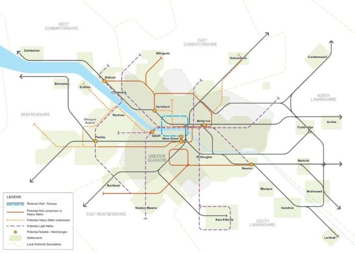
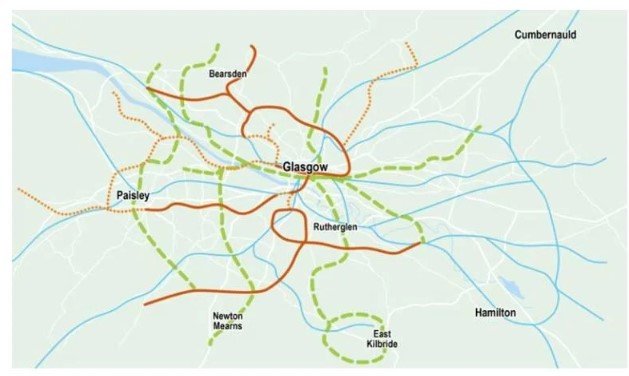
Glasgow Metro Station Map
Travel Tips for Using the Glasgow Subway
Buying a ticket or travel pass the evening before can spare commuters the queuing misery that sometimes arrives with the morning rush.
Shifting stance to the platform markings-lightly scuffed spots where the doors pause-usually secures a seat faster than random waiting does.
Standing passengers are courteous when they shuffle toward the middle, thus evening out the carriage load and freeing doors for new arrivals.
Memorising exit routes beforehand saves the last-minute scramble; knowing which stairwell or escalator leads you out speeds up the exit.
The single-track stretch through Govan can stall for minutes while relief drivers trade shifts, so skipping that segment during off-peak hours prevents needless frustration.
Google Maps remains the best pocket navigator, detailing real-time arrivals and flagging whether your route follows the inner or outer circle.
Glasgow Subway trains are compact, so they fill up quickly during the commuter crush.
Travelers who can delay their journey until after 09:30 in the morning or wait until 7:00 p.m. will enjoy breathing room on both the platforms and the carriages.
Tourists often rely on the underground for a speedy tour of the city’s highlights.
A brief walk from Kelvinbridge station lands visitors at the Kelvingrove Art Gallery and Museum; the Glasgow Science Centre is similarly close to Cessnock.
Shoppers heading for Buchanan Street or St Enoch are only steps away from flagship stores and cafes.
Fans headed to Ibrox for a Rangers fixture find the stadium mere minutes from the station; those off to a concert at the O2 Academy can board at Bridge Street.
History buffs hop off at Govan to see surviving shipyards and monuments that recall Glasgow’s maritime past.
Table of Contents
Conclusion
Glasgow’s Subway may be small by contemporary standards, yet it’s welded to the city’s rhythm and keeps commuters moving with clock-like reliability. One continuous loop, 15 stops, two directions reads more like a bicycle tire than a rail map, and that simplicity is almost the point. Whether en route to the office, loading shopping bags, or chasing murals and galleries, hopping the Tube rarely costs more than a cup of coffee.
Scan the route map, note the nearest entrances, pick a pay-as-you-go card, and the journey almost flies itself. A few minutes spent decoding the line now saves the traveler hours of fumbling later, leaving more time to roam the alleys and concert halls that give Glasgow its pulse.